The NOAA CORS Network (NCN) Photographic Archive, Part 1

"The NOAA Continuously Operating Reference Stations (CORS) Network (NCN), managed by NOAA/National Geodetic Survey, provide Global Navigation Satellite System (GNSS) data, supporting three dimensional positioning, meteorology, space weather, and geophysical applications throughout the United States.
Surveyors, GIS users, engineers, scientists, and other people who collect GPS/GNSS data can use NCN data, acquired at fiducial geodetic control stations, to improve the precision of their positions, and align their work within the National Spatial Reference System (NSRS). NCN enhanced post-processed coordinate accuracies can approach a few centimeters, both horizontally and vertically.
The CORS network is a multi-purpose, multi-agency cooperative endeavor, combining the efforts of hundreds of government, academic, and private organizations. The stations are independently owned and operated. Each agency shares their GNSS/GPS carrier phase and code range measurements and station metadata with NGS, which are analyzed and distributed free of charge."
— NOAA
The following are photographs from NOAA's publicly accessible record of the establishment of that system, which began in the 1970s. You can find them under the collection title "geodesy."
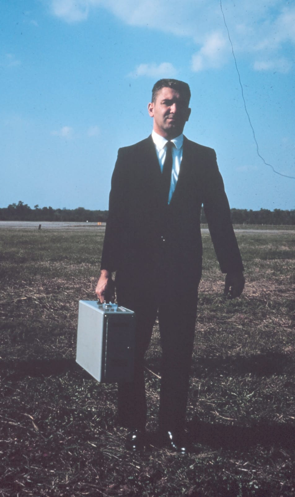
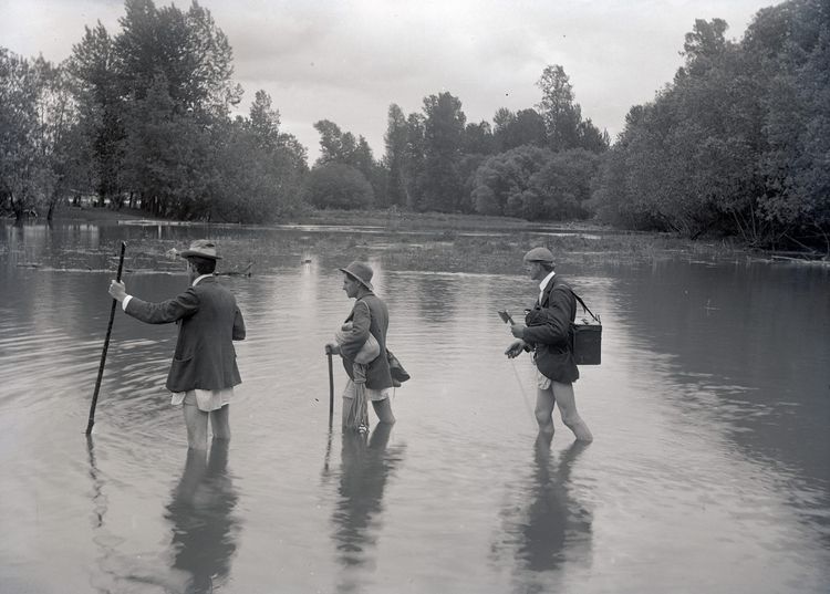
Larry Schenkat, Chief of Timing Section, with a portable quartz crystal clock. It was used to check the mobile BC4 units' clocks.
Location: Maryland, Beltsville
Subject: Geodesy
Subject: Satellite Triangulation
Subject: Stations
Subject: North America
via NOAA
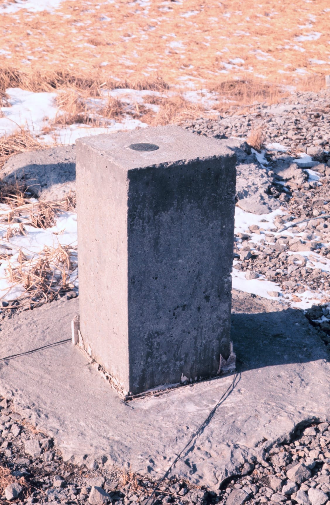
Station Number 004. 52 42 49 North Latitude. 174 07 26 East Longitude.
Location: Shemya, Aleutian Islands, Alaska
Subject: Geodesy
Subject: Satellite Triangulation
Subject: Stations
Subject: North America
via NOAA
Station Number 015. 36 14 26 North Latitude. 59 37 44 East Longitude.
Location: Mashad, Iran
Subject: Geodesy
Subject: Satellite Triangulation
Subject: Stations

via NOAA
Station Number 012 and 066. 19 17 28 North Latitude. 166 36 39 East Longitude.
Location: Wake Island
Subject: Geodesy
Subject: Satellite Triangulation
Subject: Stations
Subject: Pacific Ocean
via NOAA
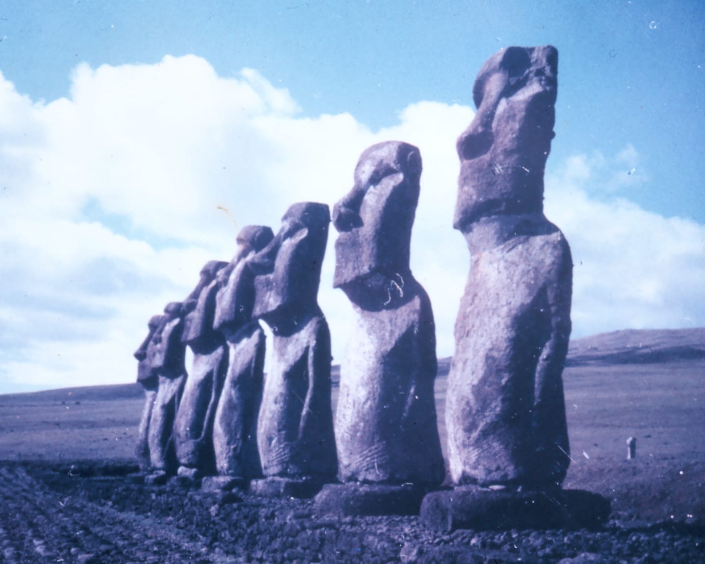
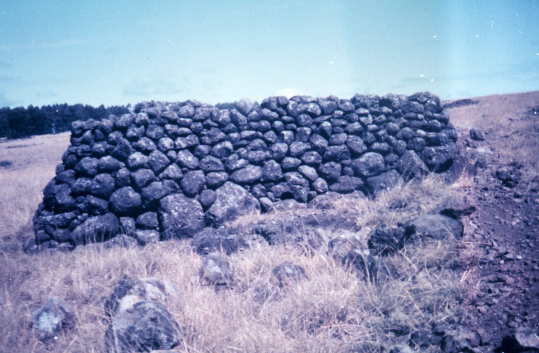
Station Number 020. Station Easter geographic coordinates 27 10 36 South Latitude. 250 34 23 East Longitude.
Location: Chile, Easter Island
Subject: Geodesy
Subject: Satellite Triangulation
Subject: Stations
Subject: Pacific Ocean
via NOAA
Station Number 038. Station Revilla geographic coordinates18 43 58 North Latitude. 249 2 41 East Longitude.
Location: Isla Socorro, Revilla Gigedos, Mexico
Subject: Geodesy
Subject: Satellite Triangulation
Subject: Stations
Subject: Pacific Ocean

via NOAA
Station Number 039. Station Pitcairn geographic coordinates25 4 7 South Latitude. 229 53 13 East Longitude.
Location: Pitcairn Island
Subject: Geodesy
Subject: Satellite Triangulation
Subject: Stations
Subject: Pacific Ocean
via NOAA
System used to measure satellite locations relative to fixed star background.This operation was conducted in the office by photogrammetry experts. The plates were sent from camera stations around the world to headquarters for processing.
Subject: Geodesy
Subject: Satellite Triangulation
Subject: Instruments
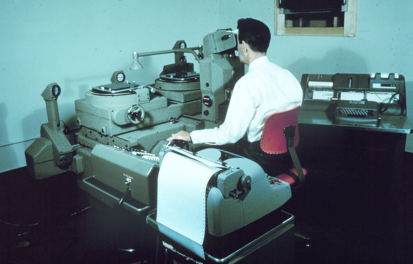
via NOAA
Station Number 015. 36 14 26 North Latitude. 59 37 44 East Longitude.
Location: Mashad, Iran
Subject: Geodesy
Subject: Satellite Triangulation
Subject: Stations

via NOAA
Station Number 022. Station Pago Pago geographic coordinates14 19 54 South Latitude. 189 17 9 East Longitude.
Location: Pago Pago, American Samoa
Subject: Geodesy
Subject: Satellite Triangulation
Subject: Stations
Subject: Pacific Ocean

via NOAA
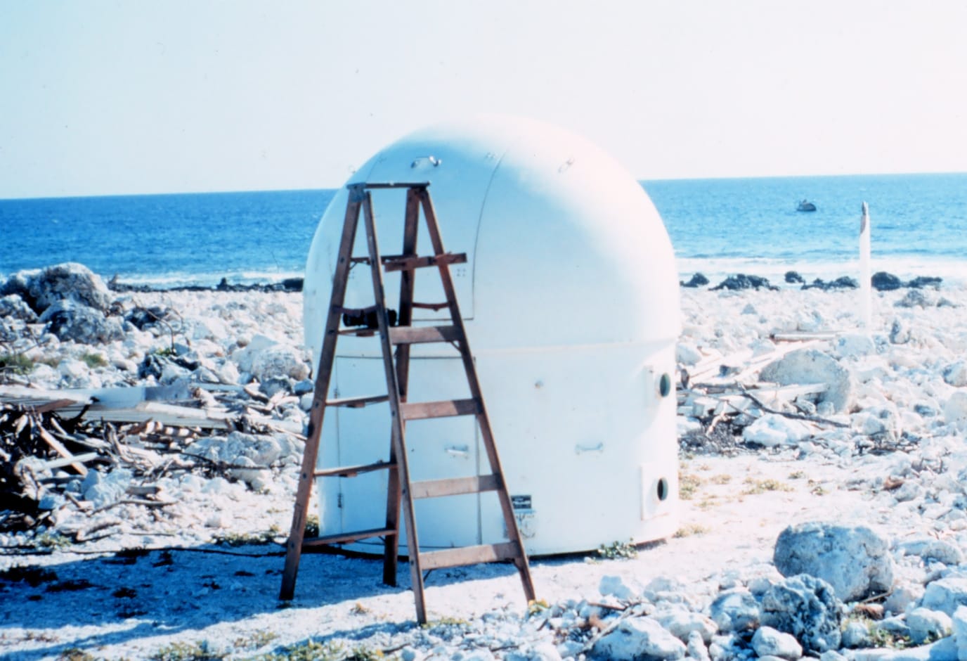
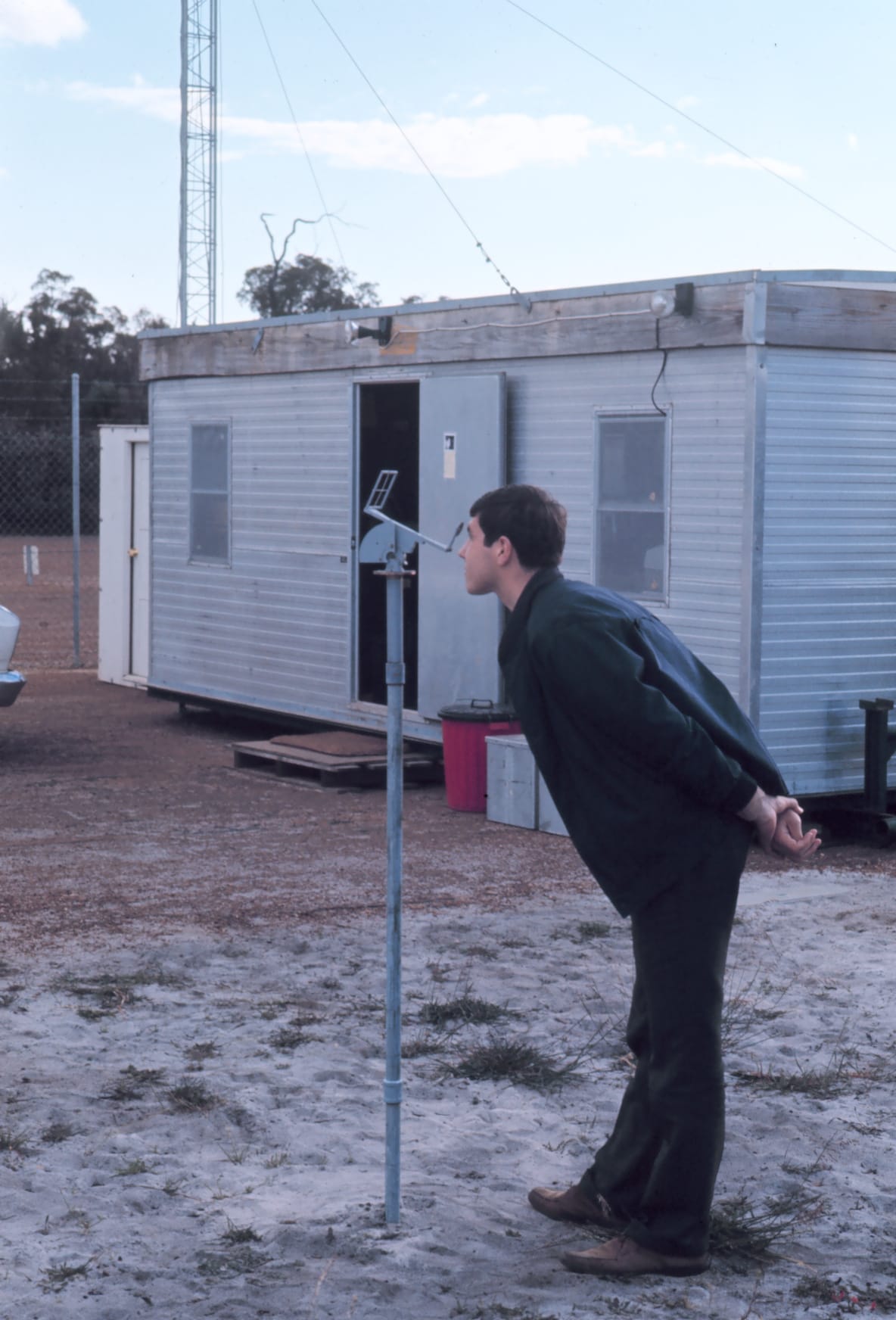
Electronic shelter on right used to house synchronization consol while the domeon the right was the camera dome for housing the BC-4 camera. The BC-4 is shownin operating position. A cover latches onto the opening when the camera is notin use.
Subject: Geodesy
Subject: Satellite Triangulation
Subject: Instruments
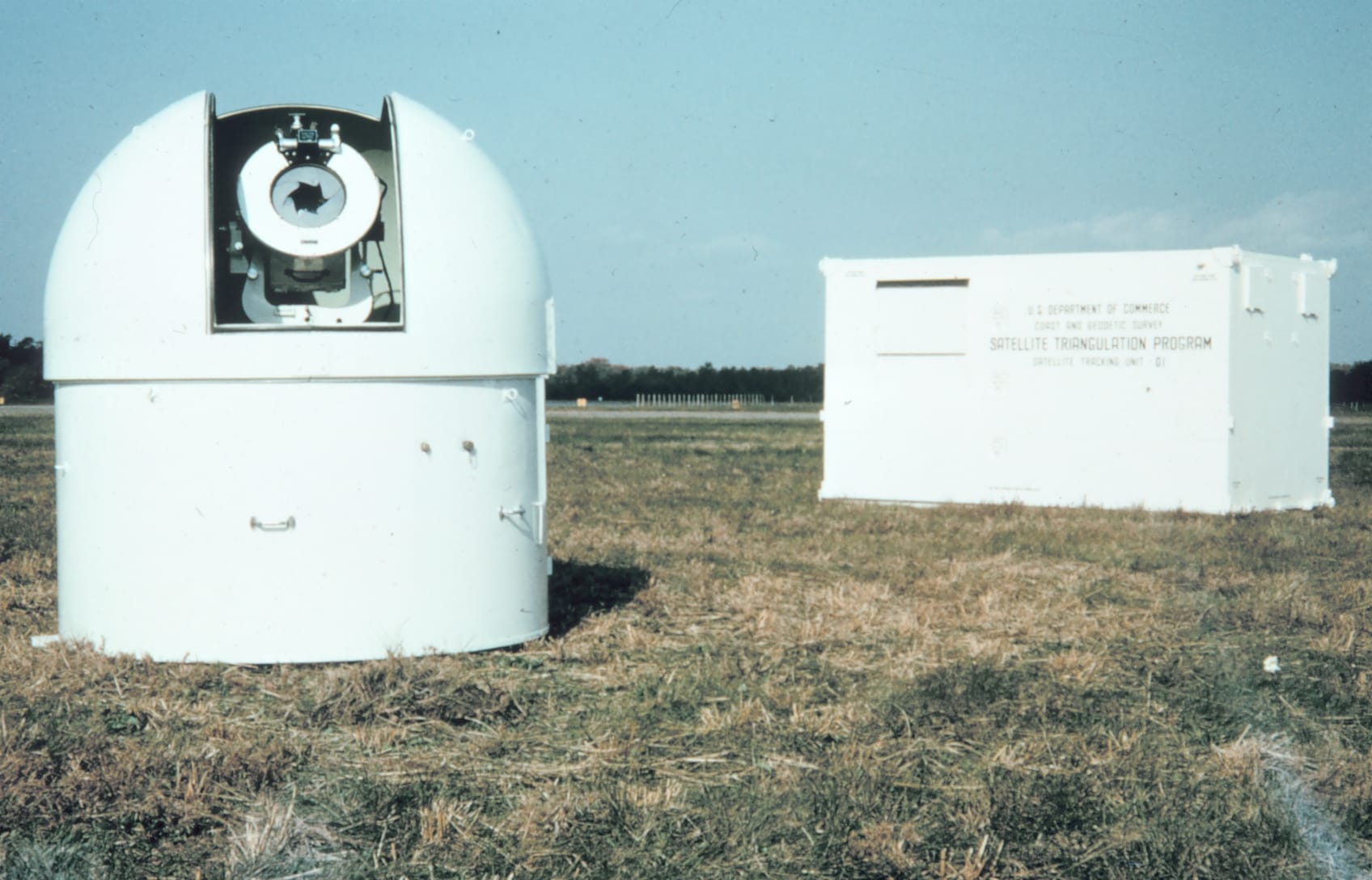
via NOAA
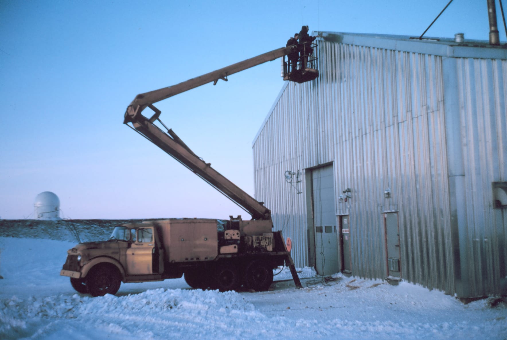
Station Number 001 -occupied 1/22/66 to 3/18/66Party chief Sherrill Snellgrove of C&GS;Installing a VLF antenna to aid with time signal reception. The synchronization unit was inside the warehouse.
Location: Thule, Greenland
Subject: Geodesy
Subject: Satellite Triangulation
Subject: Stations
Subject: North America
via NOAA
Larry McClure, radio operator, and friend at going away party for Roy Anderson
Location: Maryland
Subject: Geodesy
Subject: Satellite Triangulation
Subject: Stations
Subject: North America

via NOAA
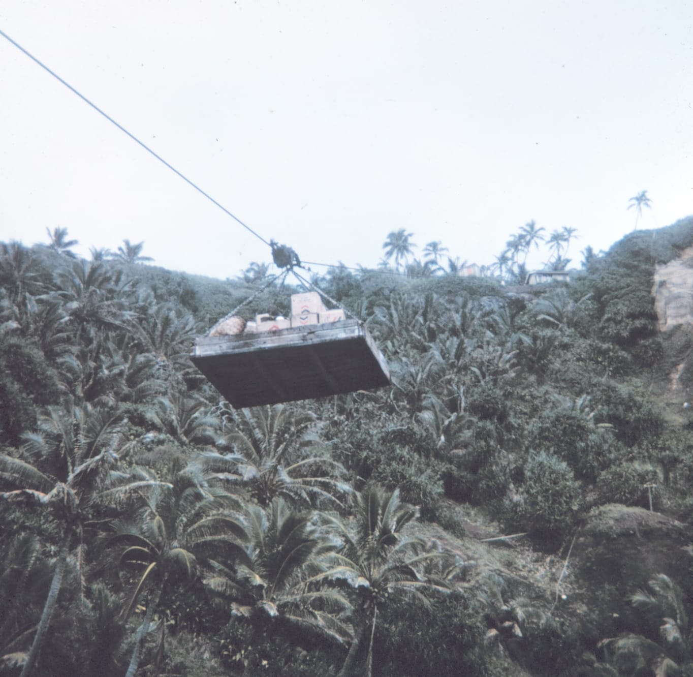
Station Number 039
Location: Pitcairn Island
Subject: Geodesy

via NOAA
Station Number 064
Location: Ft. Lamy, Chad
Subject: Geodesy
Station Number 020. Station Easter geographic coordinates 27 10 36 South Latitude. 250 34 23 East Longitude.
Location: Chile, Easter Island
Subject: Geodesy
Subject: Satellite Triangulation
Subject: Stations
Subject: Pacific Ocean
via NOAA
Station Number 020. Station Easter geographic coordinates 27 10 36 South Latitude. 250 34 23 East Longitude.
Location: Chile, Easter Island
Subject: Geodesy
Subject: Satellite Triangulation
Subject: Stations
Subject: Pacific Ocean

via NOAA
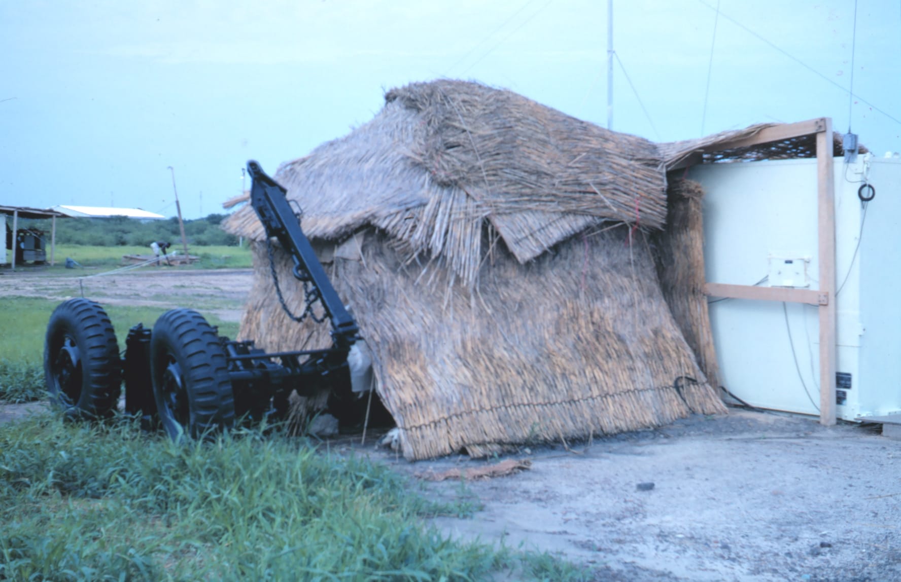
Station Number 032. Station Perth geographic coordinates31 50 25 South Latitude. 115 58 32 East Longitude.
Location: Perth, Western Australia, Australia
Subject: Geodesy
Subject: Satellite Triangulation
Subject: Stations
via NOAA

Comments ()