The NOAA CORS Network (NCN) Photographic Archive, Part 2
"The NOAA Continuously Operating Reference Stations (CORS) Network (NCN), managed by NOAA/National Geodetic Survey, provide Global Navigation Satellite System (GNSS) data, supporting three dimensional positioning, meteorology, space weather, and geophysical applications throughout the United States.
Surveyors, GIS users, engineers, scientists, and other people who collect GPS/GNSS data can use NCN data, acquired at fiducial geodetic control stations, to improve the precision of their positions, and align their work within the National Spatial Reference System (NSRS). NCN enhanced post-processed coordinate accuracies can approach a few centimeters, both horizontally and vertically.
The CORS network is a multi-purpose, multi-agency cooperative endeavor, combining the efforts of hundreds of government, academic, and private organizations. The stations are independently owned and operated. Each agency shares their GNSS/GPS carrier phase and code range measurements and station metadata with NGS, which are analyzed and distributed free of charge."
— NOAA
The following are photographs from NOAA's publicly accessible record of the establishment of that system, which began in the 1970s. You can find them under the collection title "geodesy."
Station Number 064
Location: Ft. Lamy, Chad
Subject: Geodesy
via NOAA
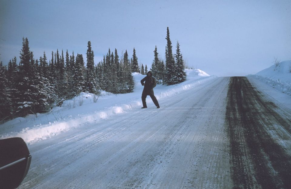
Station Number 109
Location: Canada, Whitehorse, Yukon
Subject: Geodesy

via NOAA
Station Number 129
Photographer: Roy W. Anderson
Affiliation: NOAA
Date: 1967
Location: Nord, Greenland, Denmark
Subject: Geodesy
via NOAA
Seaman Surveyor Nick Piro standing in Boston Whaler. Supporting horizontal control work in December.
Photographer: Commander Grady Tuell
Affiliation: NOAA Corps
Date: 1981 December 16
Location: Port Frederick, Alaska
Subject: Geodesy
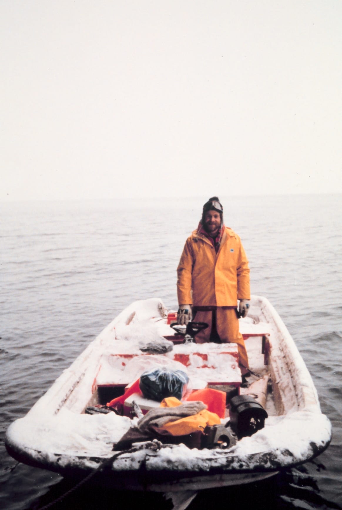
via NOAA
Survey banner at high tide just south of Burnt Point.
Photographer: Commander Grady Tuell
Affiliation: NOAA Corps
Date: 1981 December
Location: Port Frederick, Alaska
Subject: Geodesy
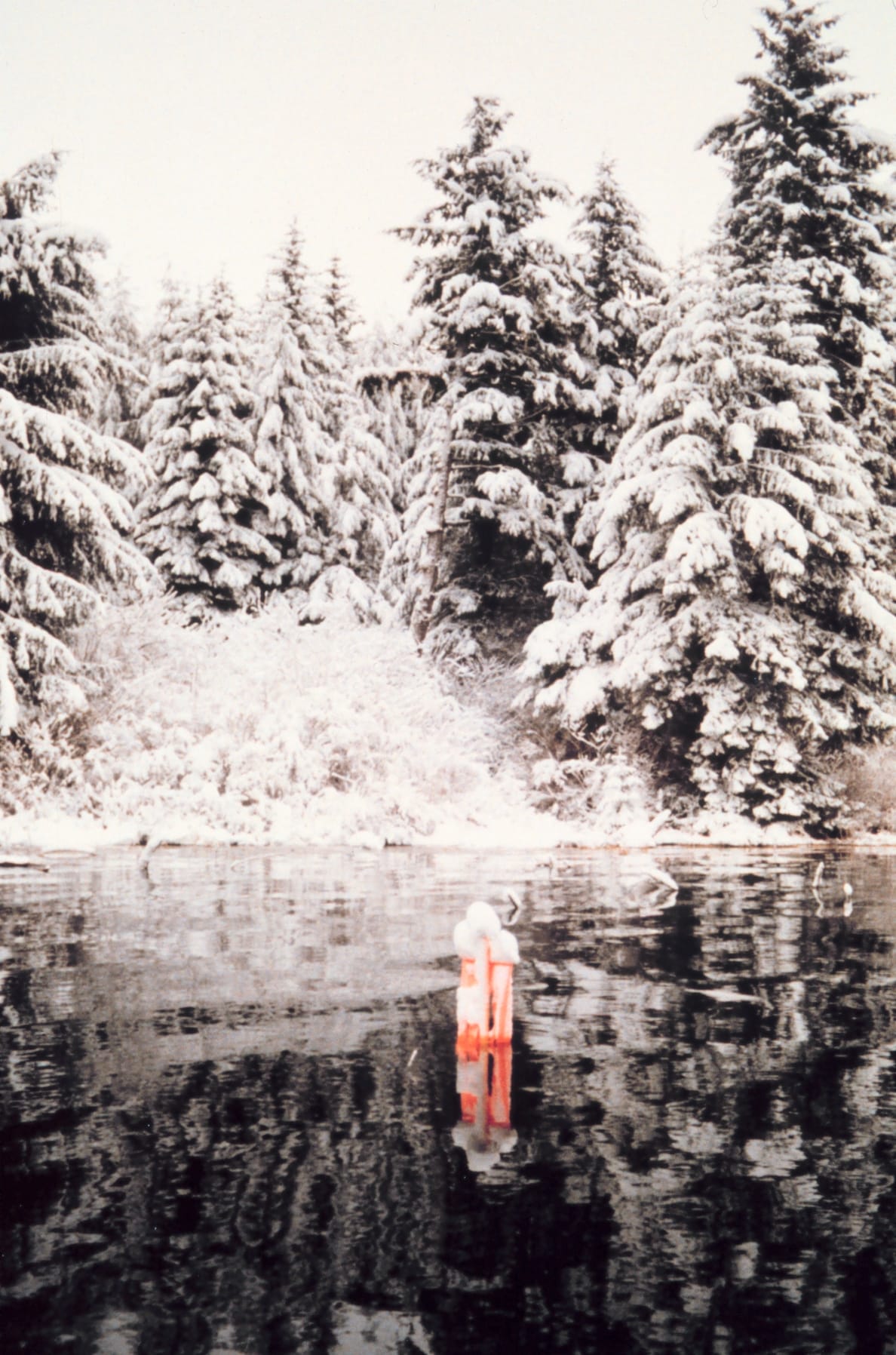
via NOAA
Gary Frederick, recording, and Lieutenant Ginny Newell, observing, across the valley from Redoubt Volcano.
Photographer: Captain Budd Christman
Affiliation: NOAA Corps
Date: 1980 Fall
Subject: Geodesy
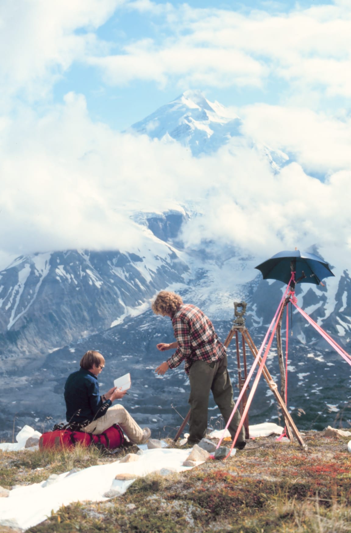
via NOAA
Tower building crew from party G-19. From upside down center clockwise: Rick McCahill, Gary Means, Frank Maida, Jerry Kirshner, Fred Buck, and Steve Randall.
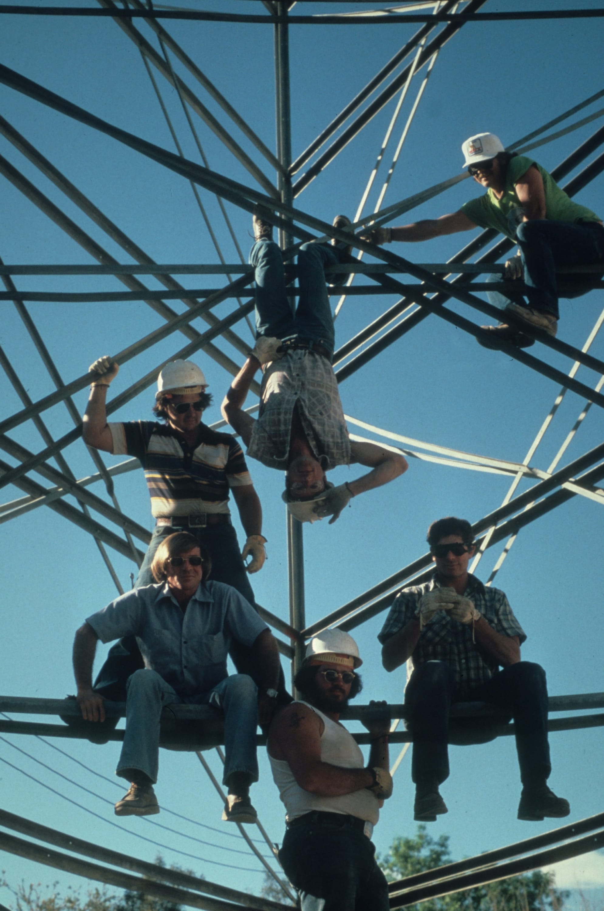
via NOAA
Anita Whitis, crew chief and instrument operator, setting up level during White House leveling project.
Photographer: Anita Whitis Collection
Date: 1978 July
Location: Washington, D. C.
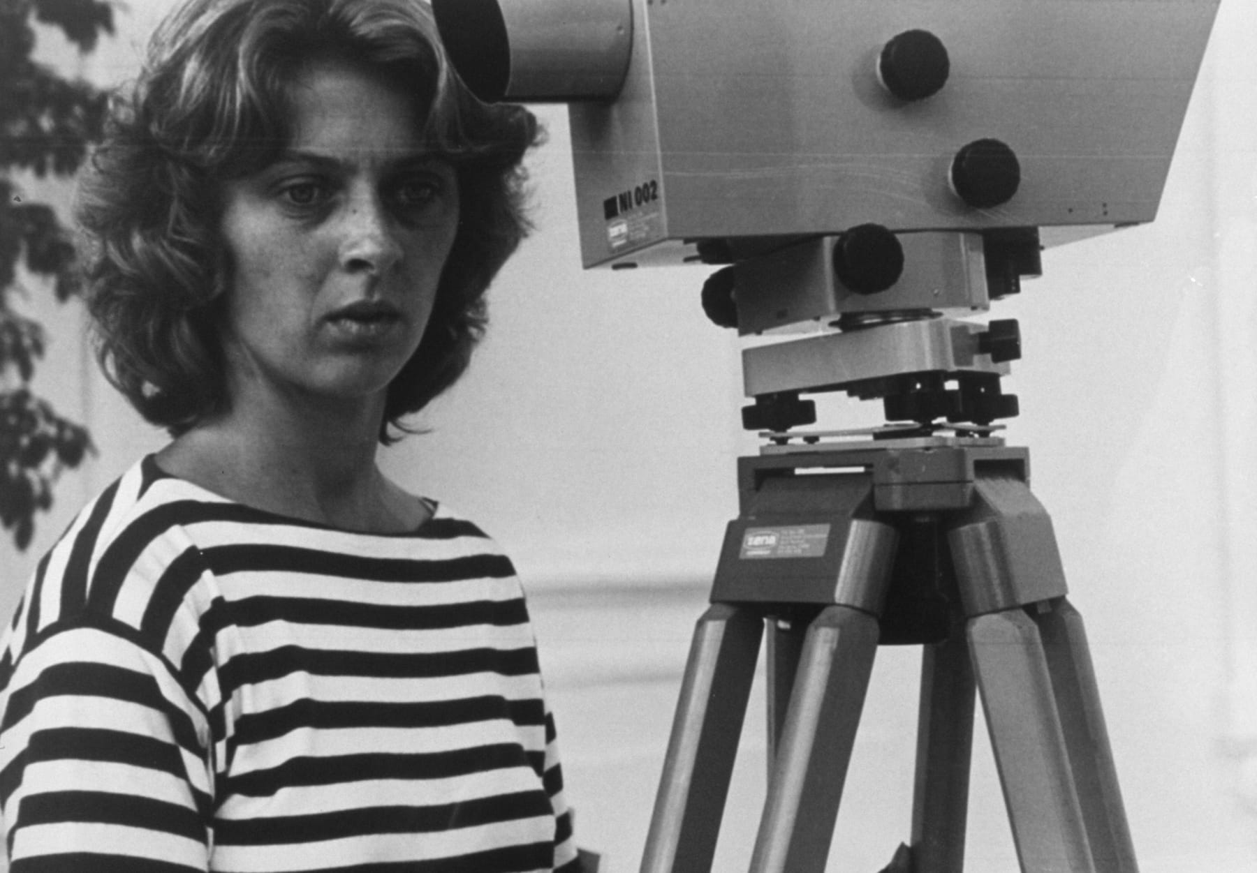
via NOAA
Anchor plates formerly four feet underground pulled out and up in airafter wind storm.
Photographer: Commander George Leigh
Affiliation: NOAA Corps (ret.)
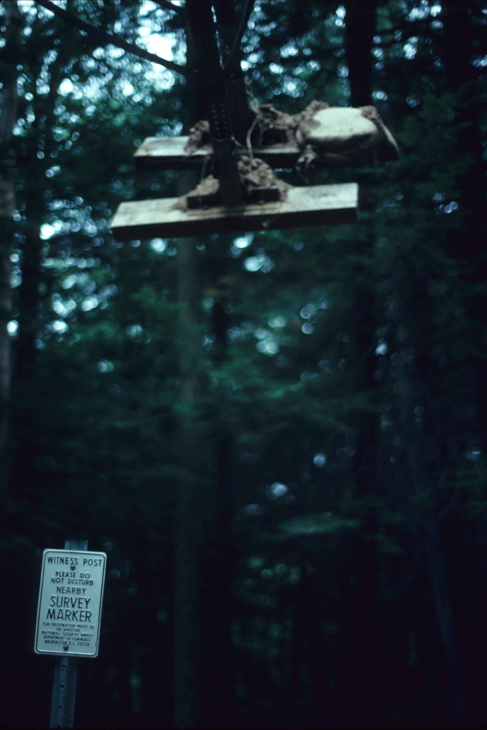
via NOAA
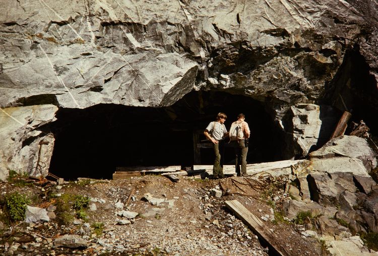
The BC-4 observatory in Southeast Iran.
Location: Iran, Zahedan
Subject: Geodesy
Subject: Satellite Triangulation
Subject: Stations
Subject: Asia
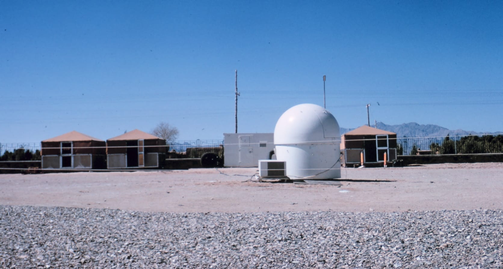
via NOAA
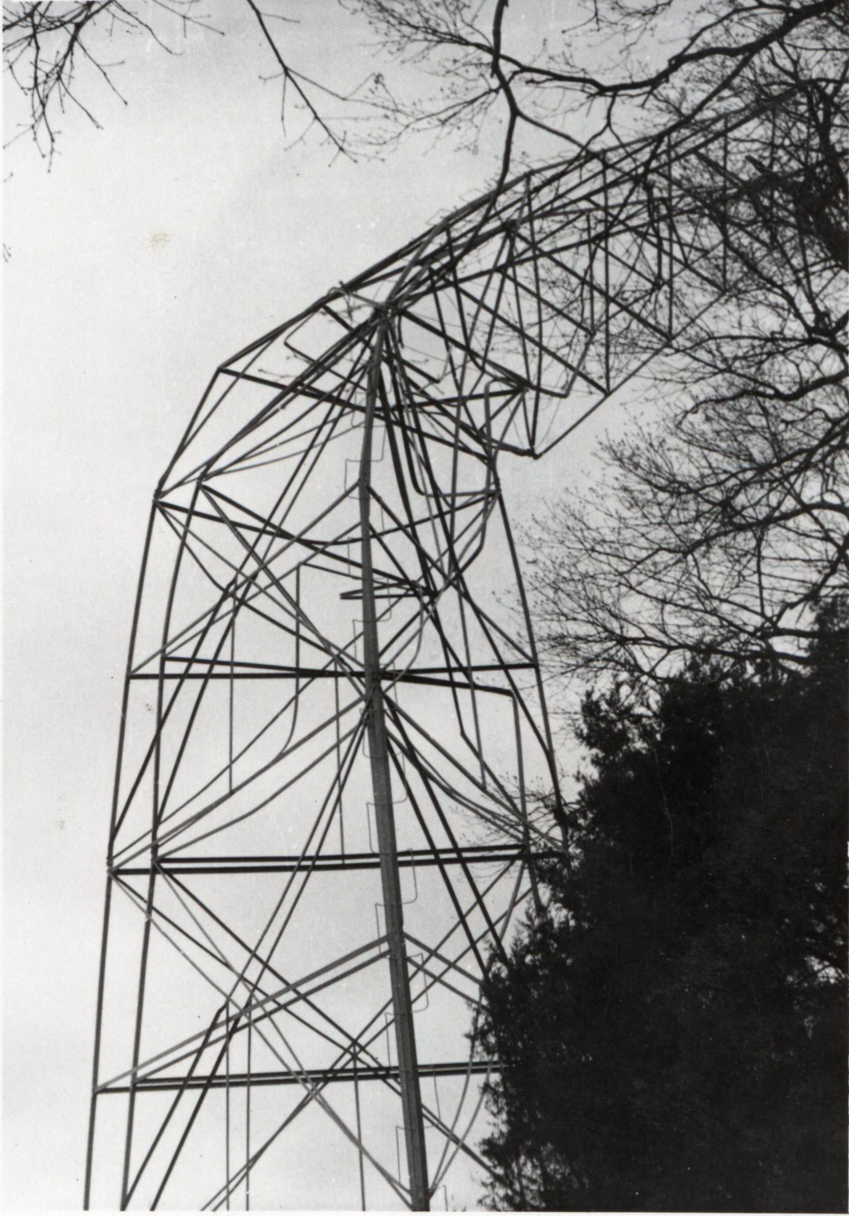
Field foreman U. Jones on damaged Bilby tower.
Photographer: Commander George Leigh
Affiliation: NOAA Corps (ret.)
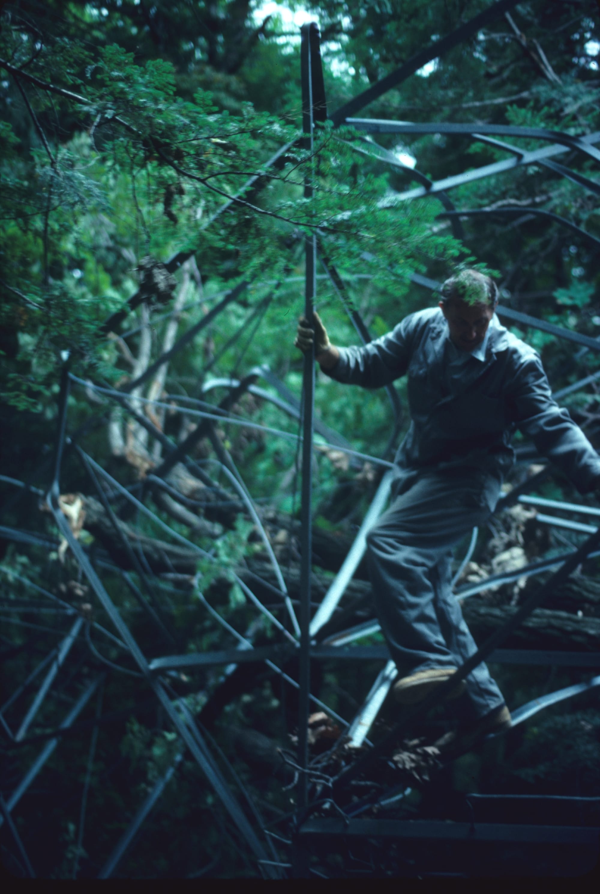
via NOAA
Field foreman U. Jones on damaged Bilby tower.
Photographer: Commander George Leigh
Affiliation: NOAA Corps (ret.)
via NOAA
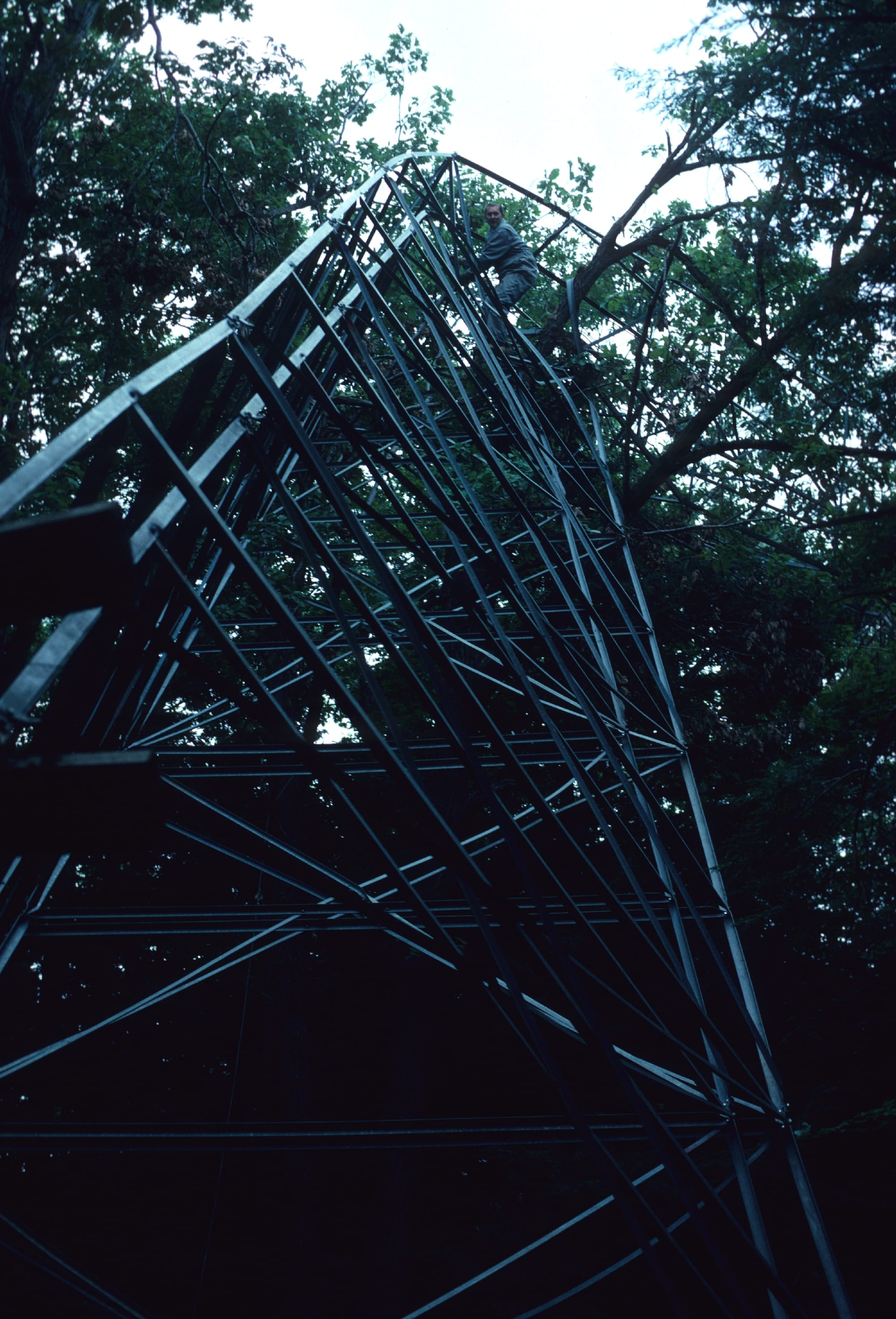
Bilby tower destroyed by strong wind storm.
Photographer: Commander George Leigh
Affiliation: NOAA Corps (ret.)
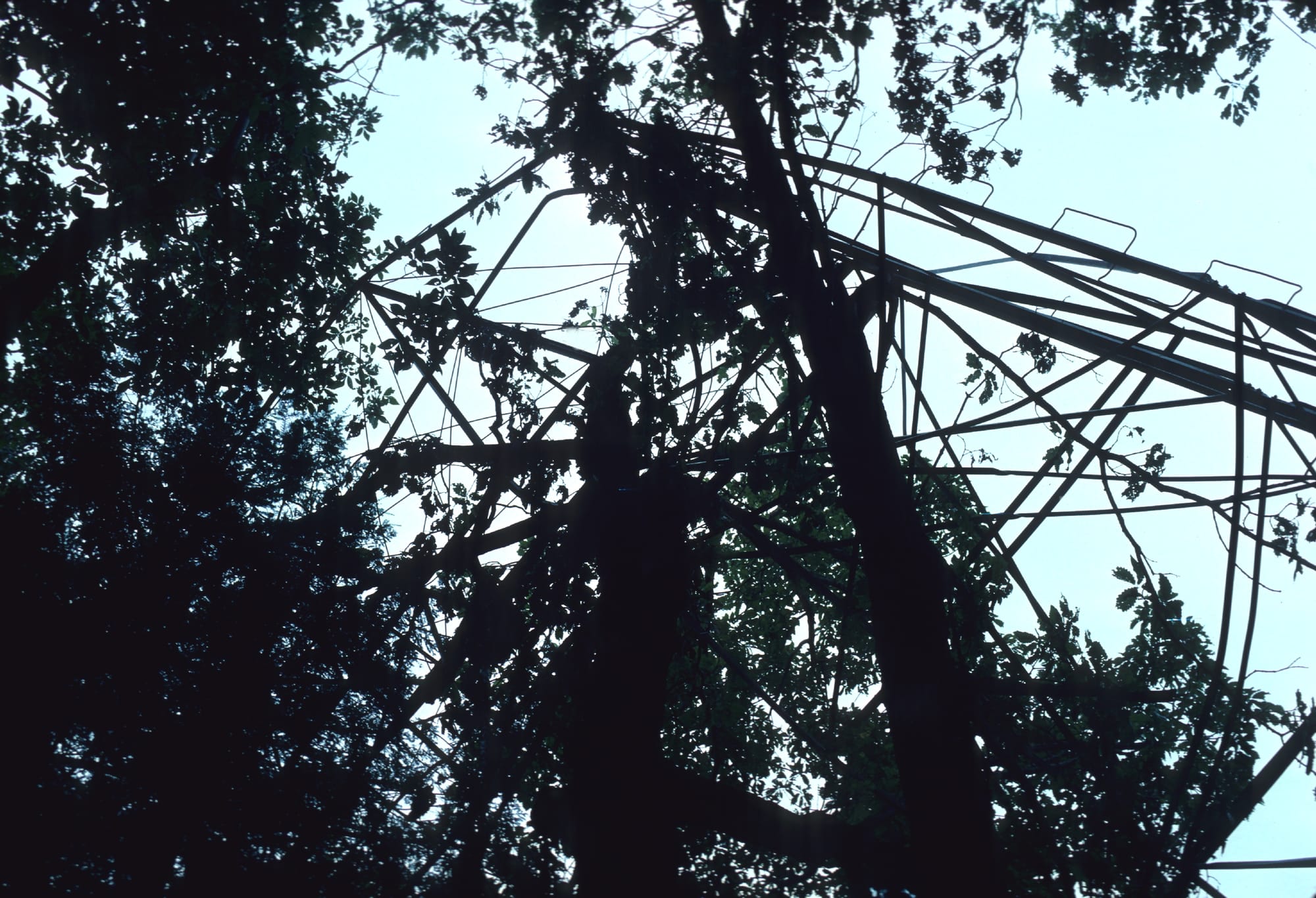
via NOAA
Bilby tower failure at Station Flatlick due to tornado. Triangulation party of E. L. Jones.
Date: 1953
Location: Kentucky, Christian County
via NOAA
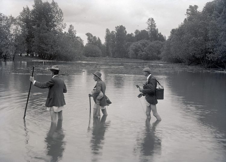
Leveling observing party. Observer, umbrella holder, and recorders comparing notes.
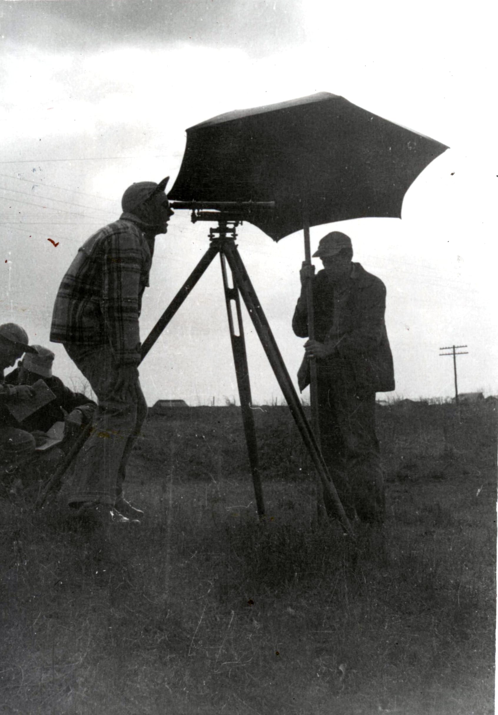
via NOAA
A Spectra Precision GPS antenna atop the Washington Monument with Ellis Veatch of Spectra Precision.
Location: Washington, D. C.
Subject: Geodesy
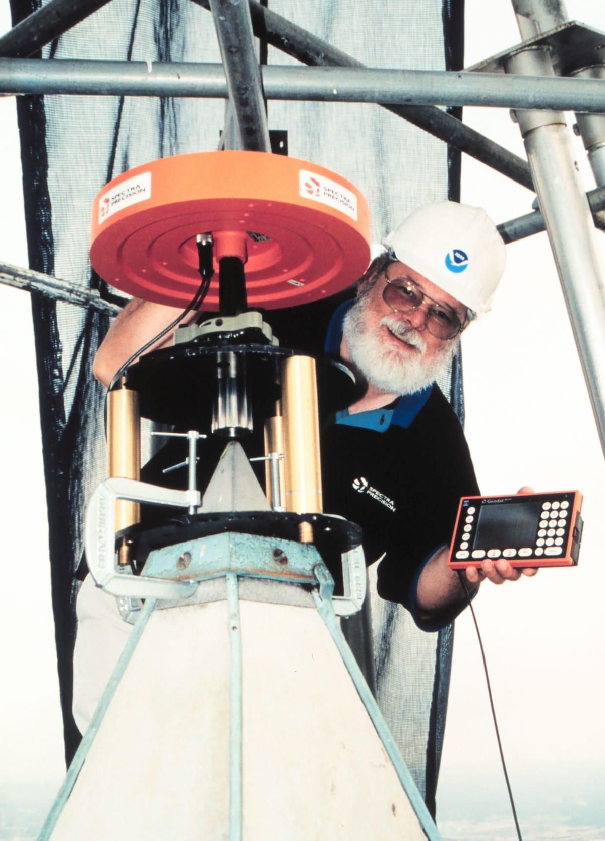
via NOAA
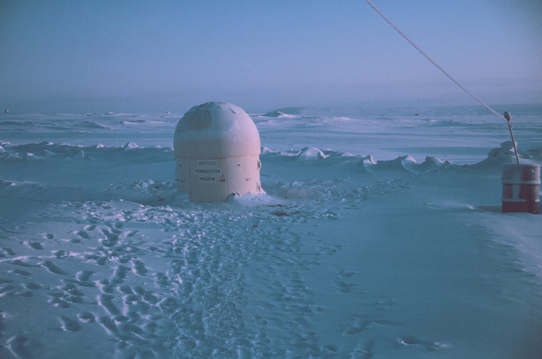
"Looks similar to the Salalah area. Boy, does this look like a grim place to spend a few weeks." [actual title in archive—ed]
Location: Middle East
Subject: Geodesy
Subject: Satellite Triangulation
Subject: Stations
Subject: Asia
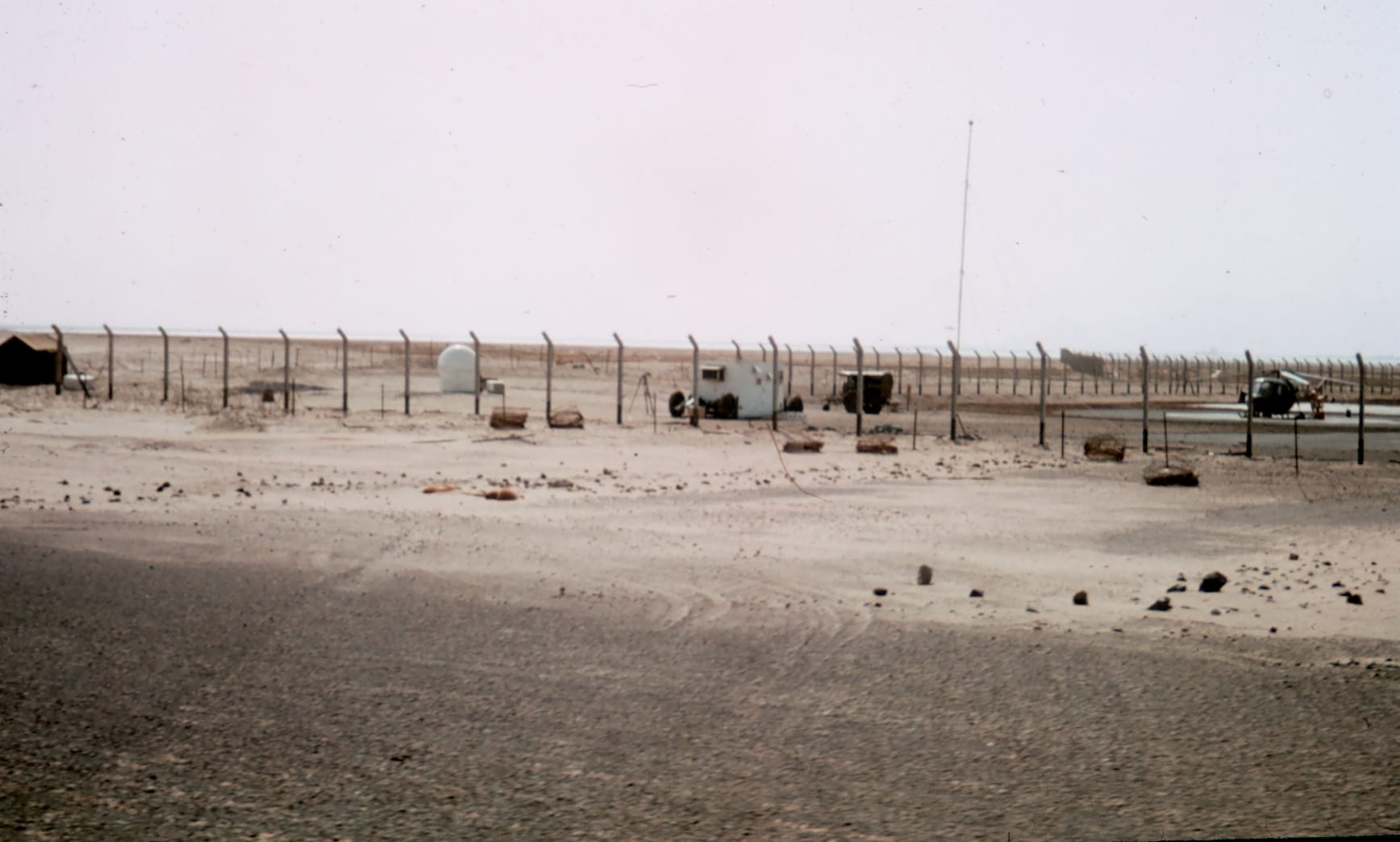
via NOAA

Comments ()